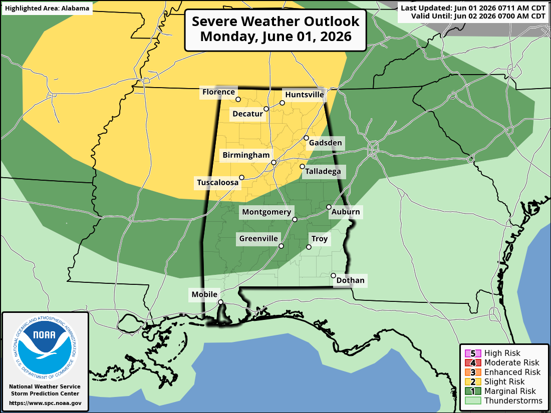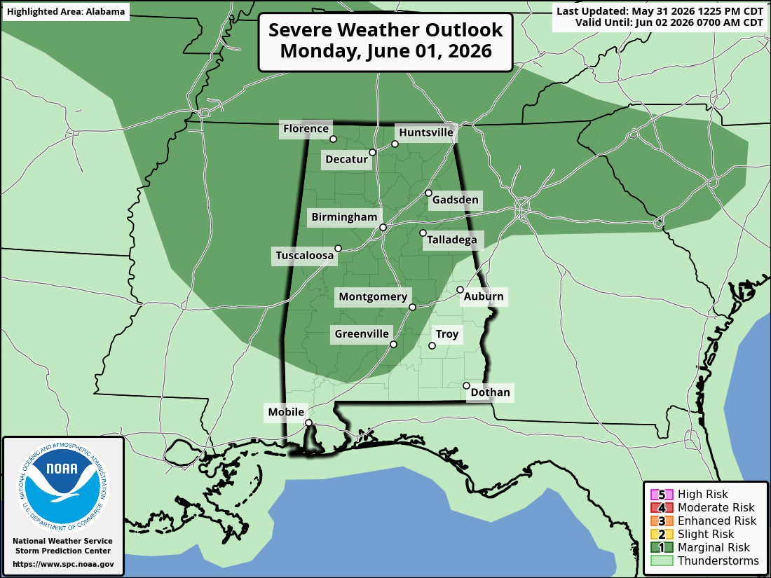
North Alabama is under a Level 2 of 5 Slight Risk for severe storms today and tonight. The higher Level 3 Enhanced Risk is mainly west of Alabama, but the SPC outlook map shows the Slight Risk covering much of Alabama, including North and Northeast Alabama. The main concern locally is not the extreme hail/tornado threat centered farther west, but strong to severe storms redeveloping or moving into Alabama late today and tonight.
For North Alabama and Northeast Alabama, the main threats are:
Damaging straight-line winds — This appears to be the primary local hazard, especially if storms organize into clusters or a line overnight.
Large hail — Hail is possible with stronger storms, especially if any discrete storms can develop ahead of the main storm cluster.
A tornado or two — The tornado threat is not zero. It would be higher if any sustained supercell storm can form before storms merge into a line. The Huntsville NWS discussion notes that discrete storms ahead of the main complex would carry the greatest “all hazards” risk, while the overnight line would mainly shift the threat toward damaging winds with embedded circulations possible.
Heavy rain / localized flooding — This may become a bigger issue tonight because multiple rounds of rain and storms are possible. NWS Huntsville is forecasting 1.5 to 2.5 inches of rain through Wednesday, with additional rainfall possible later in the week.
Timing
The morning storms have generally weakened or shifted south, and the main renewed concern is late this afternoon, this evening, and tonight. SPC says some air mass recovery is possible across the Tennessee Valley by late afternoon or early evening, which could allow a severe threat to return.
For North Alabama, the best estimated window is:
West/Northwest Alabama: roughly 5 PM to midnight
Huntsville, Decatur, Cullman, Albertville, Fort Payne, Scottsboro areas: roughly 7 PM to 2 AM
Northeast Alabama / DeKalb, Jackson, Cherokee areas: roughly 9 PM to 3 AM
Those times could shift depending on how quickly the atmosphere recovers from earlier storms and how storms evolve to the west.
Bottom line for Northeast Alabama
For places like Fort Payne, Rainsville, Scottsboro, Albertville, Gadsden, and surrounding areas, the threat is conditional but real. If clouds and leftover rain keep instability lower, storms may be weaker. But if the atmosphere recovers this afternoon and evening, storms moving in tonight could produce damaging wind gusts, hail, heavy rain, frequent lightning, and an isolated tornado risk.
This is a stay weather-aware evening and overnight setup, especially because storms could arrive after dark. Have multiple ways to receive warnings before going to bed.