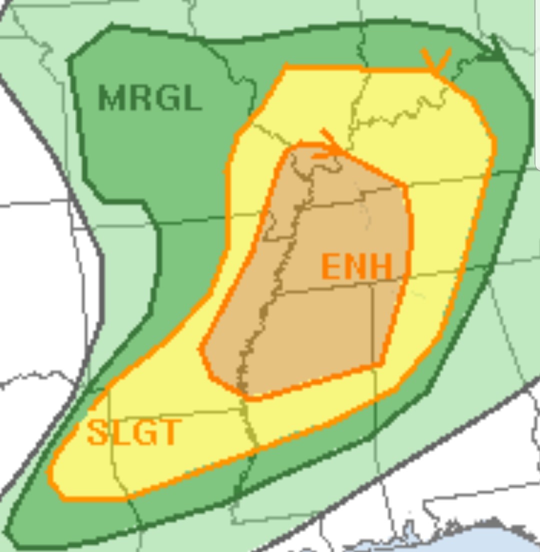
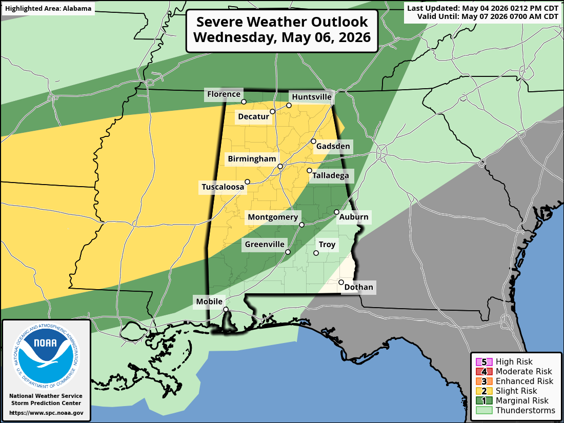
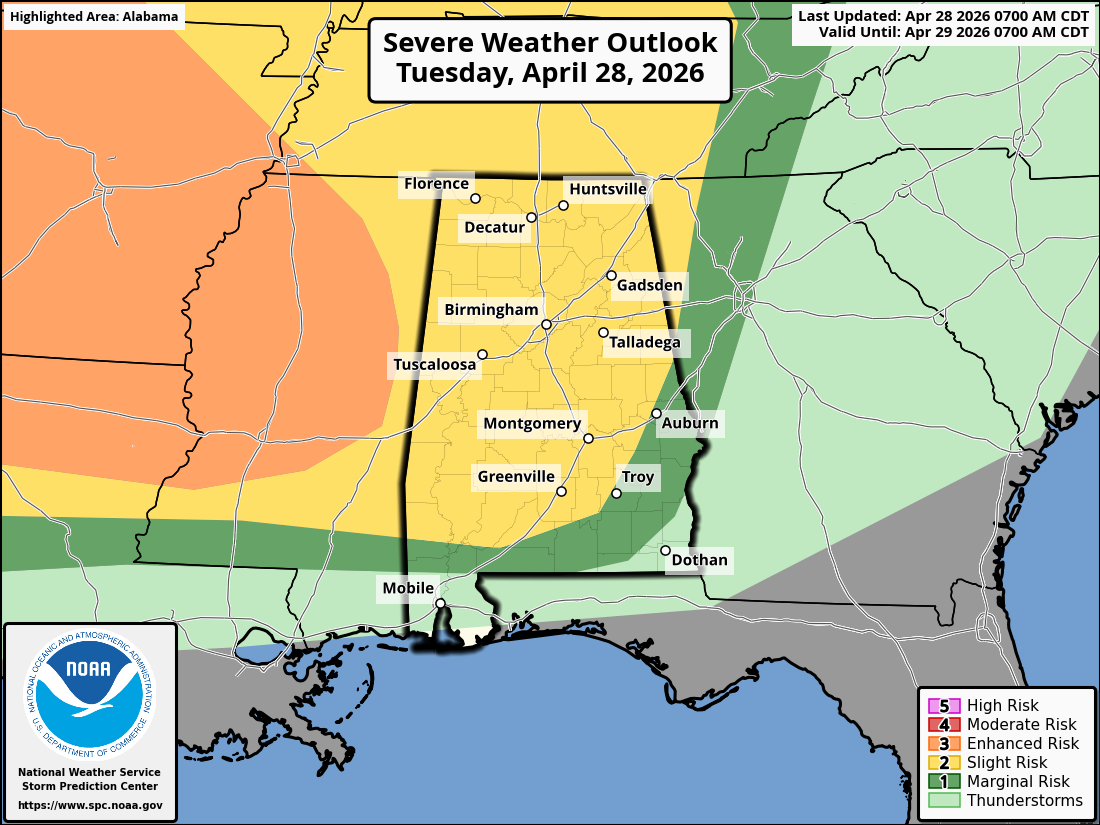
Here is the final Severe Weather outlook for today. The Storm Prediction Center has once again shifted the Outlook area. The “Enhanced Risk” now includes northwestern Alabama, a larger portion of Tennessee, and all of northern Mississippi. The “Slight Risk” covers over into north central Alabama.
Wind profiles indicate the possibility for supercells with Tornadoes and some strong, long track Tornadoes are possible.
Do not get hung up on where these outlook lines are at. Severe Weather does not just stop where a line is drawn. Stay weather alert today and tonight for severe weather, if you live in or near these outlook areas!


