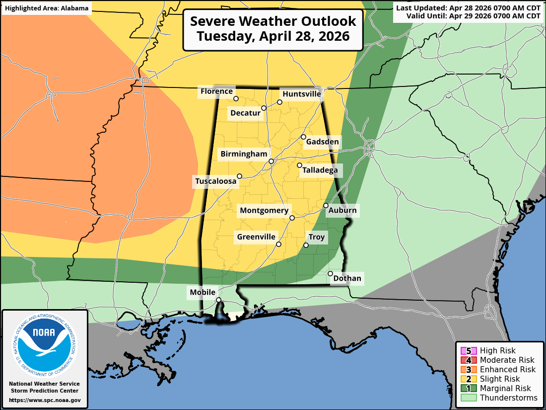
Situation Summary
A series of disturbances will bring light to moderate rain across the TN Valley today through Saturday. A cold front will swing through Saturday night bringing the chance for strong to severe thunderstorms. Storm total rainfall amounts will approach 2.5″ through Sunday which will lead to an increased risk of isolated flash flooding and prolonged river flooding.
Warnings/Watches/Advisories:
- Flood
Warning:
- TN River at Florence: Will remain in flood stage until Thursday.
- TN River at Whitesburg: Will fall below flood stage tonight but minor flooding will return Sunday night through Wednesday afternoon.
Impact 1: Heavy Rainfall Friday – Saturday Night
- Numerous
showers with isolated thunderstorms are possible today through Saturday
morning.
- While there may be a break in the coverage it is uncertain at this time.
- Within any thunderstorm, locally heavy rain is possible which may cause isolated flash flooding in low lying and poor drainage areas.
- Light showers may continue during the day Saturday, but the
greater coverage will occur Saturday evening along a slow moving cold
front.
- Heavy rain is possible within any thunderstorm, with rainfall amounts reaching into the 1-2″ range.
- Storm total rainfall from Today through Sunday morning will be 1.5-2.5″ with the highest amount expected over NE AL and Southern Middle TN.
Impact 2: Severe Weather Saturday
- Confidence has decreased on the potential for severe thunderstorms due to uncertainties regarding the amount of clearing in the morning.
- There will be enough low level wind shear to support isolated severe thunderstorms Saturday evening with the highest threat along and west of I-65.
- The main threat will be damaging straight line winds, though a brief tornado cannot be ruled out.
- Timing of the severe thunderstorms is still difficult to
pinpoint, however latest guidance suggests the higher potential to occur
between 3pm and 3am.
- Note: severe thunderstorms are not expected during the full 12 hour window and timing will be narrowed down as confidence increases.
Impact 3: River Flooding
- Minor river flooding is expected to continue into next week
- Creeks/Rivers will be further agitated with another system expected late in the week.
THE FOLLOWING ROADWAYS REMAIN CLOSED:
- WADE GAP
- TUTWILER GAP
- COUNTY ROAD 835 (OLD AL 35)
REPRESENTATIVES WITH FEMA, THE STATE OF ALABAMA AND DEKALB COUNTY WILL BE CONDUCTING DAMAGE ASSESSMENTS FROM THE RECENT HEAVY RAINFALL WHICH HAS CAUSED THE DAMAGES TO THE ABOVE LISTED ROADWAYS.
ANY MUNICIPALITY HAVING DAMAGES AS A RESULT OF RECENT FLOODING / HEAVY RAINFALL SHOULD CONTACT DEKALB COUNTY EMA.


