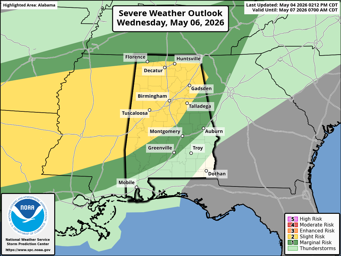
Northeast Alabama made it through the severe storms today, better than other counties in the state. There were 3 fatalities reported in Pickens County, Al. Widespread damage was reported across Alabama today, from trees blown down, power being out for thousands of customers across the state, to structural damage.
Although Dekalb and Jackson Counties were under Tornado Warnings today, there were only a few damage reports from today’s storm. A mobile home in the Ider, Al. area had minor damage and a building was damaged near Buttram’s Crossroads, near Sylvania, Al.
Jackson County had numerous reports of damage, as an intense storm moved through the county. This same storm had produced a Tornado earlier and caused damaged in other counties to our Southwest.
Damage reports for Jackson County include:
Structure damage on County Road 66 and 43
Damage to a storage building on County Road 152 near Bucks Pocket
Damage to Section High School score board
A roof blown off a house on County Road 144 and trees down
Power lines down along Davis Town Road
Trees reported down at the intersection of County Road 151 and 88
In Cullman and Marshall Counties, the storms caused damage to two different schools. An awning and roof damage was reported at the high school in Holly Pond, in Cullman County and in Union Grove, in Marshall County, substantial structural damage was reported at the high school.
Remember, if you live in a mobile home, or manufactured home, do not wait until severe weather is on top of you to take action. In future severe weather events, when a watch is issued, head to your nearest storm shelter.
Most all news media, and the National Weather Service, have been talking about this event, well in advance, for about a week now and the public has had plenty of time to prepare. This advance notification helped to save lives today. We would like to thank the National Weather Service and The Storm Prediction Center for the great job they do in helping to protect the public during and in advance of these severe weather events.


