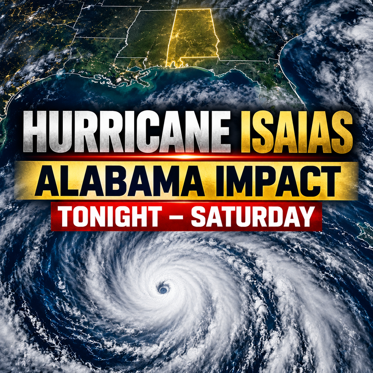

RAINSVILLE, Al. — Hurricane Isaias is moving quickly toward the northern Gulf Coast and is expected to bring dangerous weather conditions to much of Central and North Alabama late tonight through Saturday.
As of the National Hurricane Center’s 1 p.m. CDT advisory Friday, Isaias was a Category 3 hurricane with maximum sustained winds of 120 mph. The storm was about 145 miles south of Pensacola and moving north-northeast at 16 mph. (nhc.noaa.gov)
While hurricane-force winds are expected to remain closer to the coast, the storm’s inland effects could be significant across Alabama. Residents should prepare for damaging wind gusts, power outages, heavy rainfall, flooded roads and, in some areas, a limited tornado threat.
For North Alabama, the National Weather Service in Huntsville has issued a High Wind Warning from 1 a.m. Saturday until 7 a.m. Sunday for DeKalb, Jackson, Marshall, Madison, Morgan and Cullman counties. Southeast winds of 15 to 25 mph are expected, with gusts up to 60 mph possible. The warning includes Rainsville, Fort Payne, Scottsboro, Albertville, Guntersville, Huntsville and Decatur. Downed trees, power lines and difficult travel—especially for high-profile vehicles—are possible.
A Flood Watch is also in effect across North Alabama from 1 a.m. Saturday through 7 a.m. Sunday. Most locations are expected to receive 1 to 3 inches of rain, but isolated areas could receive 4 to 6 inches where repeated heavy rain bands develop. Low-lying areas, creeks, roads and poor-drainage locations may flood quickly.
Central Alabama faces a similar threat. The National Weather Service in Birmingham says damaging winds, heavy rainfall and isolated tornadoes are possible from tonight into Saturday. A Flood Watch covers all of Central Alabama from 7 p.m. Friday until 7 a.m. Sunday, with 1.5 to 4 inches of rainfall expected and isolated totals up to 5 inches. Archived Briefing
The tornado risk is lower in North Alabama than farther south and east, but it is not zero. Tropical-system tornadoes can form quickly in weak-looking rain showers, sometimes with little lightning. Residents should have more than one dependable way to receive weather warnings, especially overnight.
Residents should secure outdoor furniture, trash cans, decorations and other loose items before nightfall; charge phones and backup batteries; avoid unnecessary travel during the strongest winds; and never drive across a flooded roadway. Conditions and warnings can change quickly as Isaias moves inland.