
As the weekend approaches, Alabama residents can expect a return of moist air, bringing intermittent showers and the chance of a few thunderstorms on Saturday. While it won’t be a complete washout, periods of rain are likely, with temperatures climbing into the 70s. Severe storms are not anticipated at this time.
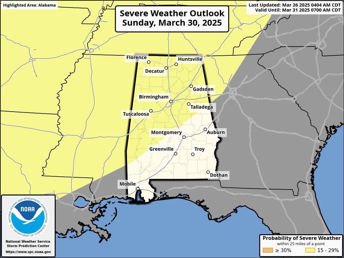
Sunday is shaping up to be a largely dry day, though a few scattered showers may still pop up. Breezy and warm conditions will push temperatures into the low 80s, setting the stage for a more active weather pattern late Sunday night.
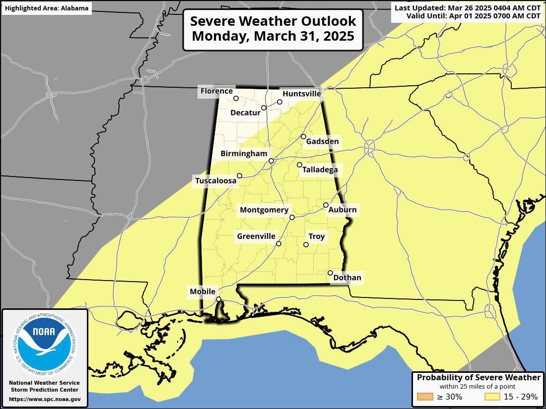
Forecasters are closely monitoring a developing storm system expected to arrive after midnight Sunday into Monday. The entire state of Alabama falls under a severe weather risk, as outlined by the Storm Prediction Center (SPC).
Current model trends suggest a slower-moving system, with North Alabama facing its primary threat window between midnight and noon on Monday. For central and southern portions of the state, the severe weather risk extends from around 4 a.m. to 4 p.m. Monday.
This system has the potential to bring all modes of severe weather, including large hail, damaging winds, and the possibility of tornadoes. Meteorologists will continue refining forecasts in the coming days to provide more precise details on timing and storm intensity.
Residents are encouraged to stay weather-aware, have multiple ways to receive alerts, and be prepared to take action if warnings are issued. Stay tuned for further updates as the forecast evolves.