SEVERE WEATHER UPDATE FOR TODAY & SUNDAY…
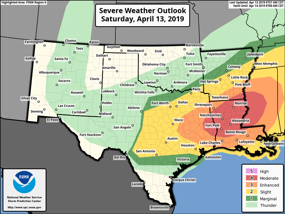
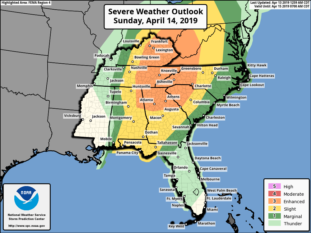
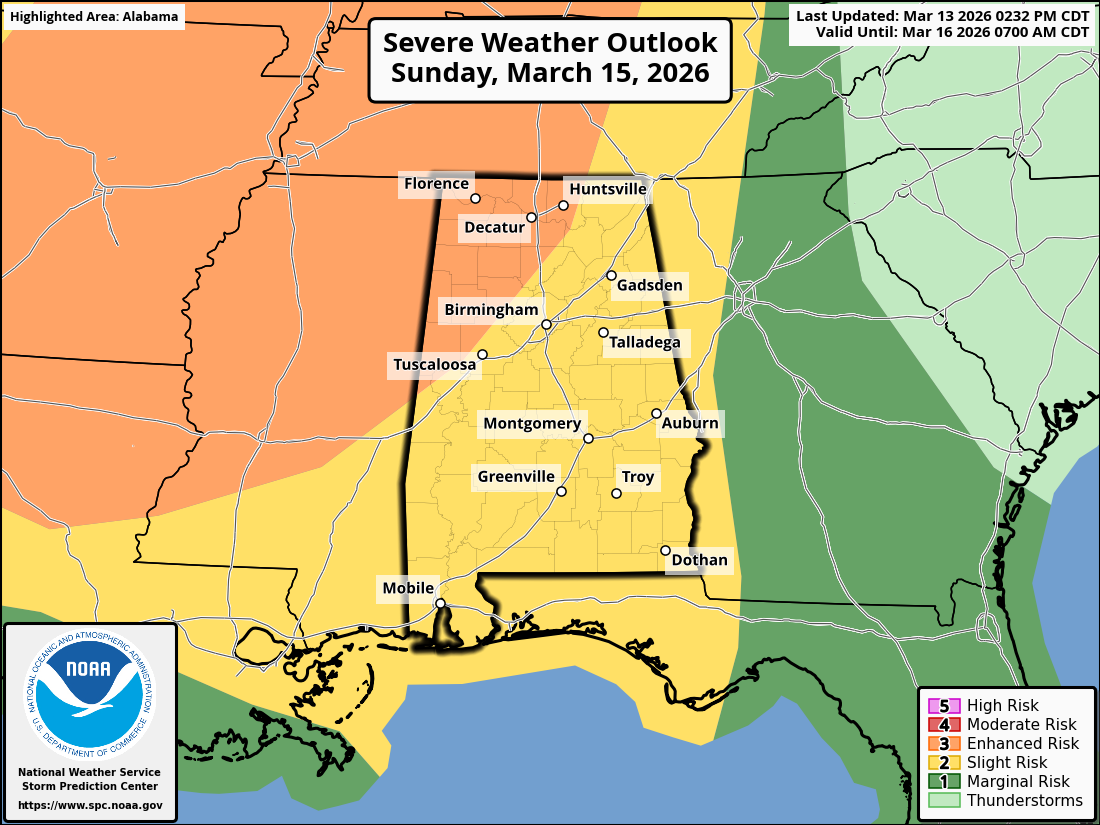
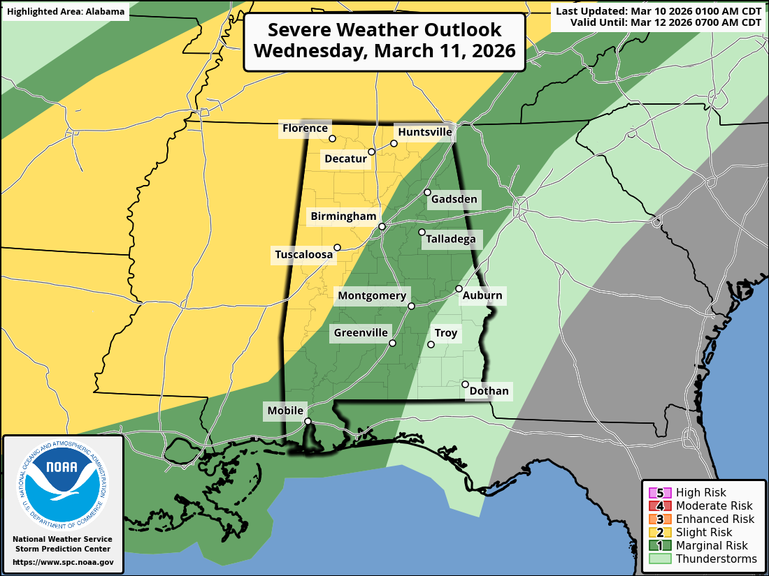
To put this in the simplest way…click on each map for a closer view. If you are in these colored areas for today/tonight/tomorrow:
Yellow area”Slight Risk” = BAD
Orange area “Enhanced Risk” = REALLY BAD
RED area “MODERATE RISK” = REALLY, REALLY, BAD
TAKE THIS EVENT SERIOUSLY AND CONTACT FAMILY AND FRIENDS THAT LIVE INSIDE THESE SEVERE OUTLOOK AREAS AND LET THEM KNOW ABOUT THE SEVERE WEATHER TODAY THROUGH SUNDAY!!!!!
THIS IS A MAJOR SERIOUS EVENT UNFOLDING.
No that is out of the way…here are some more details. For today, Saturday, April 13, 2019:
TORNADOES — Some potentially STRONG TO VIOLENT (EF2+) — are possible today from east Texas to central Mississippi. Otherwise, numerous Severe Thunderstorms will pose a risk of large hail, damaging wind and tornadoes from central Texas this morning to the Tennessee Valley region overnight.
A regional outbreak of Severe Thunderstorms, with the main concern being Damaging TORNADOES, still appears possible today in and near the categorical “Moderate Risk” area. Only peripheral adjustments were needed for this outlook package, based on convective trends this morning and (on the eastern edge) continuity of overnight severe potential into the early day-2 period (Sunday).
The main threat overnight tonight may become a damaging wind threat. However, given the strong inflow-layer SRH, TORNADOES still will be probable from both embedded SUPERCELLS and Squall Line/Bow Echoes.
I know there is always a lot of hype about Severe Weather Events, but take this one seriously!! Know where your local shelters are at, plan to go to those shelters if Severe Weather threatens your area. Leave Mobile Homes well in advance.
REMEMBER THIS SYSTEM IS FORECAST TO PRODUCE STRONG AND VIOLENT TORNADOES WITHIN THE OUTLOOK AREA. Not every area will see one, but no one knows where they will end up touching down. FINALLY, FOR A LARGE PORTION OF THE EASTERN OUTLOOK AREA, THIS WILL BE OCCURRING AT NIGHT OR DURING THE EARLY MORNING HOURS.


