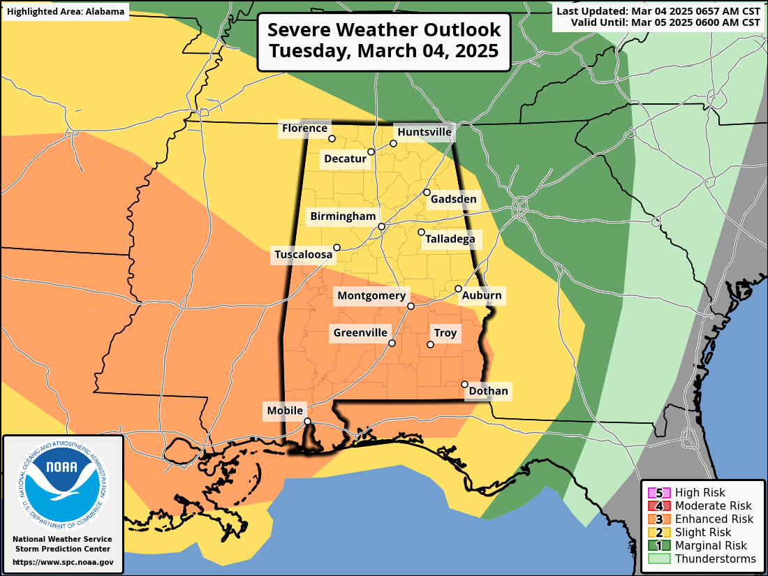
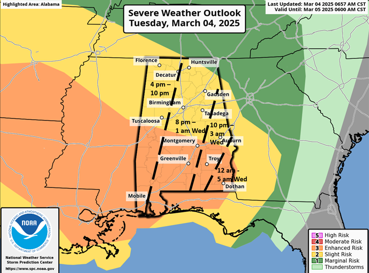
March 4, 2025 – Residents from southeastern Oklahoma and northeastern Texas to southern Alabama and the Florida Panhandle are being warned of an enhanced risk of severe thunderstorms today. These storms could bring tornadoes, damaging winds, and isolated hail, with some tornadoes potentially being strong.
A large-scale mid to upper-level weather system is moving eastward, intensifying as it crosses the southern Plains and Lower Mississippi Valley. Forecasters warn that a deepening surface low and a powerful jet stream will contribute to the development of severe storms.
A severe squall line is currently progressing across central Texas and eastern Oklahoma, bringing high winds and the potential for tornadoes. This squall line will continue moving eastward throughout the day, impacting the Ark-La-Tex and Ark-La-Miss regions, where strong tornadoes are possible due to high wind shear and increasing instability.
As the storm system moves toward the Gulf Coast and Tennessee Valley overnight, damaging winds and tornado threats will persist across southern Alabama and southwestern Georgia. The National Weather Service has expanded its risk zones for these areas, urging residents to stay alert.
Further north, parts of eastern Kansas and western Illinois could see isolated storms capable of producing hail and strong winds. While less intense than the storms in the South, these could still pose a threat during the day.
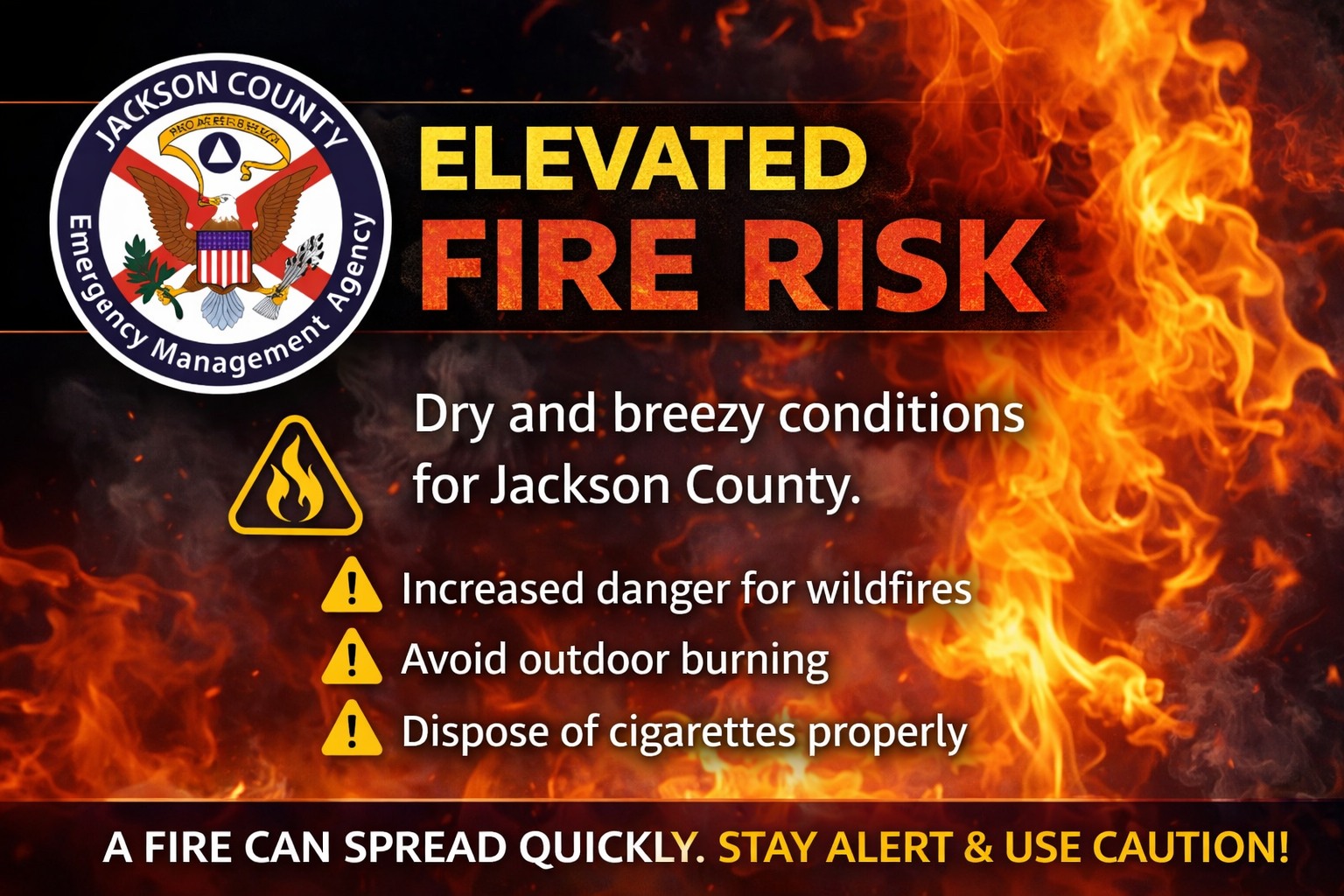
Residents in the affected regions are encouraged to monitor weather alerts and have emergency plans in place. Authorities advise securing loose objects, preparing emergency kits, and identifying safe shelter locations in case of severe weather conditions.